Chọn khu vực và ngôn ngữ
Không tìm thấy ngôn ngữ nào.
Chọn một loại tiền tệ
Không tìm thấy loại tiền tệ nào.
Mọi thay đổi đối với tùy chọn đều là tùy chọn và sẽ tồn tại trong suốt phiên người dùng của bạn.

Vùng Arsi
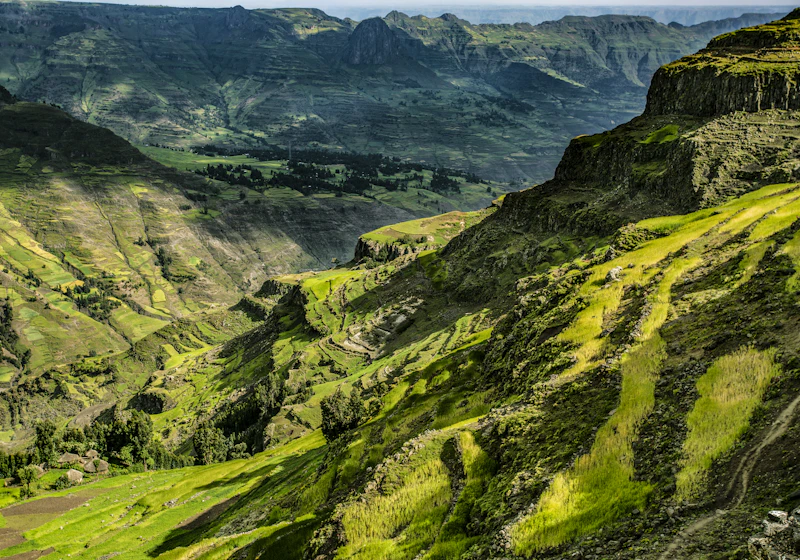
Arsi (Oromo: Godina Arsii) is a zone in Oromia Region of Ethiopia, named after a clan of the Oromo, who inhabit in the area.
Arsi is bordered on the south by Bale Zone, on the southwest by the West Arsi Zone, on the northwest by East Shewa Zone, on the north by the Afar Region and on the east by West Hararghe Zone. It covers an area of 19,825.22 km2, divided into 25 districts (weredas). The population was officially estimated at 3,894,248 in mid 2022. The highest point in Arsi Zone is Mount Chilalo; other notable mountains in this zone include Mount Kaka and Mount Gugu. Arsi Mountains National Park was created in 2011 to protect a section of the mountains. The administrative centre of this zone is in Asela, with an estimated 139,537 inhabitants in mid 2022; other towns in this zone (with estimated populations in mid 2022) include Bokoji (36,805) in Limuna Bilbilo District, Robe (31,445) in Robe District, Etaya (31,094) in Hitosa District, Dera (30,676) in Dodota District, Abomsa (30,377) in Merti District, Hurta (27,523) in Lude Hitosa District, Sagure (24,932) in Digeluna Tijo District, and Kersa (23,313) in Munesa District. Some districts in the southwestern part of this zone were separated from Arsi Zone to create a new West Arsi Zone.
In 2014, a monument has been erected to remember the victims.
Bản đồ thành phố
Districts & Regions
Share
Login
Đăng nhập vào tài khoản của bạn và khám phá tất cả các dịch vụ nền tảng.
Đăng ký ngay
Tạo một tài khoản mới trong vài phút để truy cập tất cả các tính năng của nền tảng