Pumili ng rehiyon at wika
Walang nahanap na mga wika.
Pumili ng pera
Walang nakitang pera.
Ang anumang mga pagbabago sa mga kagustuhan ay opsyonal, at magpapatuloy sa iyong session ng user.

North Wollo Zone
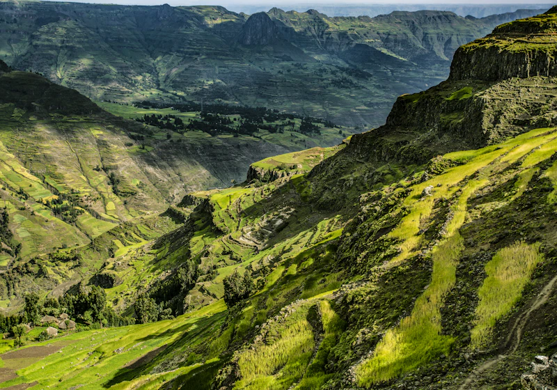
North Wollo (Amharic: ሰሜን ወሎ) also called Semien Wollo, is one of Zones of Amhara Region in Ethiopia. It is bordered on the south by South Wollo, on the west by South Gondar, on the north by Wag Hemra, on the northeast by Tigray Region, and on the east by Afar Region; part of its southern border is defined by the Mille River. Its highest point is Mount Abuna Yosef. Its towns include Lasta Lalibela (known for its rock-cut churches) and Weldiya (also spelled Woldia). North Wollo acquired its name from the former province of Wollo.
Mapa ng Lungsod
Share
Login
Mag-login sa iyong account at galugarin ang lahat ng mga serbisyo sa platform.
Magrehistro na
Gumawa ng bagong account sa ilang minuto para ma-access ang lahat ng feature ng platform