Escolha uma região e idioma
Nenhum idioma encontrado.
Escolha uma moeda
Nenhuma moeda encontrada.
Quaisquer alterações nas preferências são opcionais e persistirão durante a sessão do usuário.

Zona Wolayita
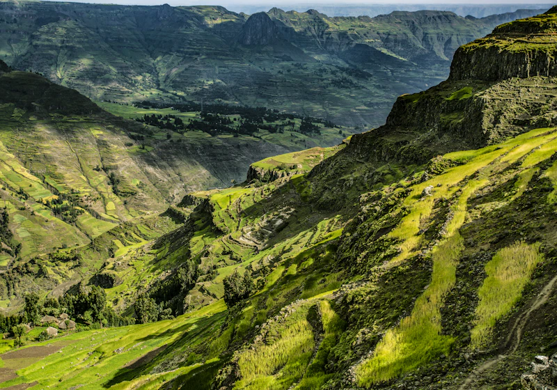
Wolayita or Wolaita is an administrative zone in Ethiopia. Wolayita is bordered on the south by Gamo Zone, on the west by the Omo River which separates it from Dawro, on the northwest by Kembata Zone and Tembaro Special Woreda, on the north by Hadiya, on the northeast by the Oromia Region, on the east by the Bilate River which separates it from Sidama Region, and on the south east by the Lake Abaya which separates it from Oromia Region. The administrative centre of Wolayita is Wolaita Sodo. Other major towns are Areka, Boditi, Tebela, Bale Hawassa, Gesuba, Gununo, Bedessa and Dimtu.
Wolayita has 358 kilometres (222 mi) of all-weather roads and 425 kilometres (264 mi) of dry-weather roads, for an average road density of 187 kilometres per 1000 square kilometres. Its highest point is Mount Damota (2738 meters).
Mapa da cidade
More in Estado Regional do Sul da Etiópia
Explore neighboring districts and regions for more experiences.
Share
Login
Faça login em sua conta e explore todos os serviços da plataforma.
Cadastre-se agora
Crie uma nova conta em minutos para acessar todos os recursos da plataforma